IoT
Integrate the Internet of Things with your Workflows for total transparency with lesser inefficiencies and greater quality.
Centeralized Command Control System
Create a GIS and IoT enabled Centralised Command Control System by integrating all our IoT solutions as given below:
Traffic Solutions
License Plate Management
-

Automatic license plate reader
-

Analyse each car journey
-

Calculate parking fee
-

Recognise fake license plates
Lane Change Management
-

Detect vehicles changing lanes
-

Define the type & colour of violated vehicle
-

Measure the real speed of violated vehicle
Face Recognition System
-

Detect multiple faces simultaneously.
-

Analyse similar faces via facial structure
-

Add face templates for comparison
-

Get alert for blacklist faces
Airspace Traffic & UAV Safety Solution
-

Sense and Avoid
-

Dynamic Geofencing
-

Aircraft Tracking
-

Hazard Notification
Vehicle Tracking System (VTS)
-

Monitor vehicle health
-

Monitor driving behaviour
-

Set easily configurable rules
Red Light Camera
-

Detect vehicle entering prohibited zone
-

Define the type & color of violated vehicle
-

Measure the real speed of violated vehicle
Mapping Solutions
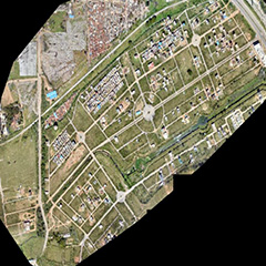
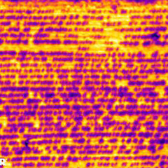
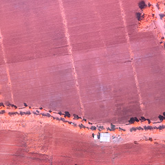
Aerial Mapping
-

Greater Coverage
-

Higher Resolution
-

Faster Acquisition
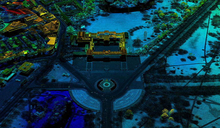
Mobile Mapping
-

All Weather Solution
-

Cost Effective
-

Safe
Backpack Mobile Mapping
-

Holistic 3D View
-

Simple & Refined Workflow
-

Extended Operating Range
Smart City Solutions
Biometrics
-

Search, compare, and match faces
-

Read and write iris to a template
-

Search, compare, and match Iris
-

Read fingerprint template and save up to 10 fingers
Smart Grid Management
-

Web based system information service
-

Load monitoring
-

Fault alarm
-

External mass storage
-

Real time power monitoring
Smart Digital City
-

See 360-degree images
-

Virtually manage a city by digitally analysing geographic areas
-

Extended Operating Range
